Serving Southern Ontario with Drone Solutions
What’s New?
New Drone Regulations Coming November 2025
New Drone Regulations Coming November 2025
On April 1, 2025 Transport Canada published an update to the Canadian RPAS Regulations. For more detail, please contact us.
Our online Ground School Training programs for Advanced and Level 1 Complex Operations are LIVE! Enroll and complete the training courses on you own time, then call us to schedule a Flight Review

Use discount code ASPECT20 at checkout
for 20% off all training courses
Online RPAS Training
check out what we have been up to
Explore your sites remotely
With advanced photogrammetry we can create 3D models for visual inspections, 3D modelling, and creation of Digital Elevation Models
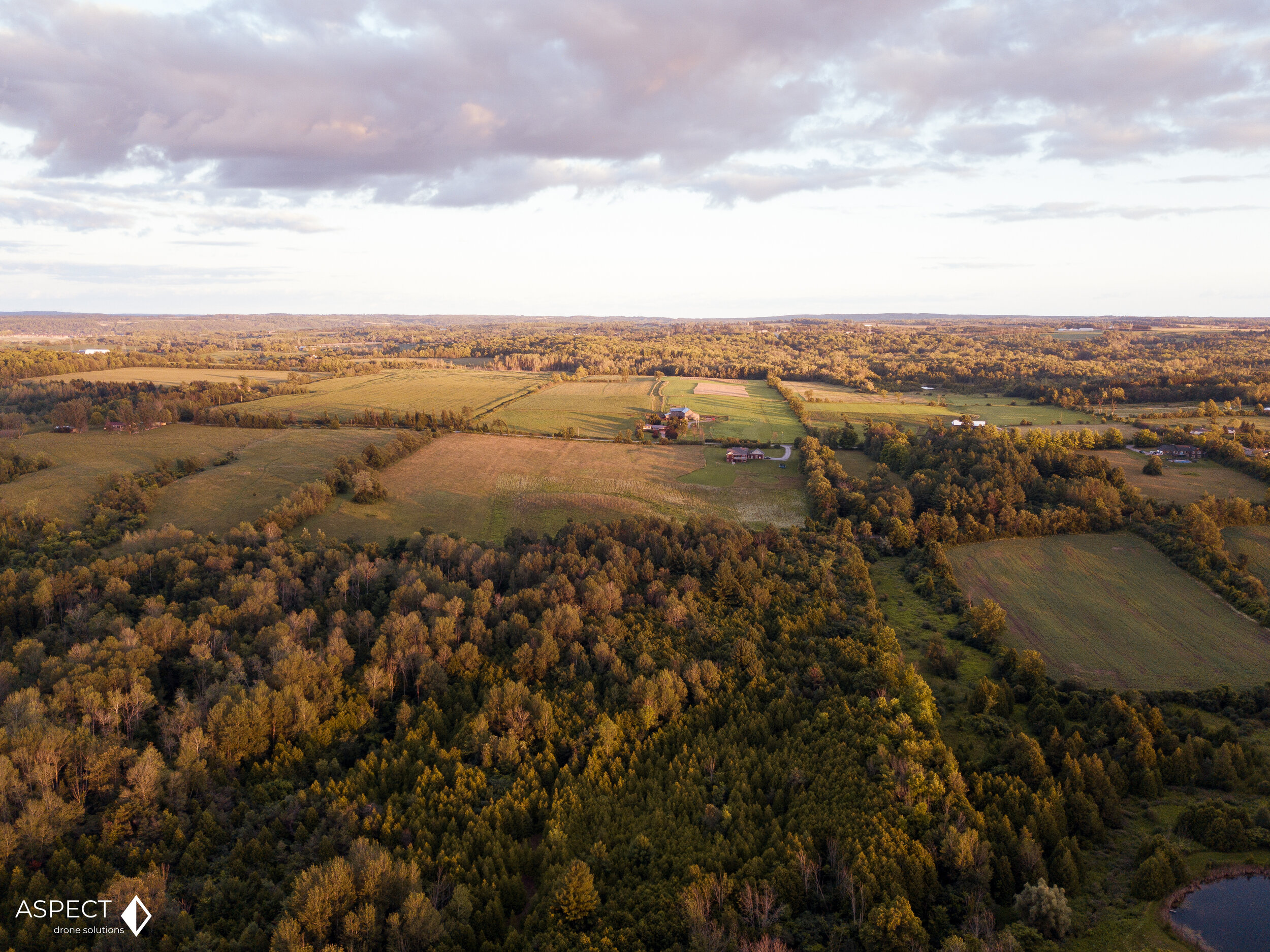
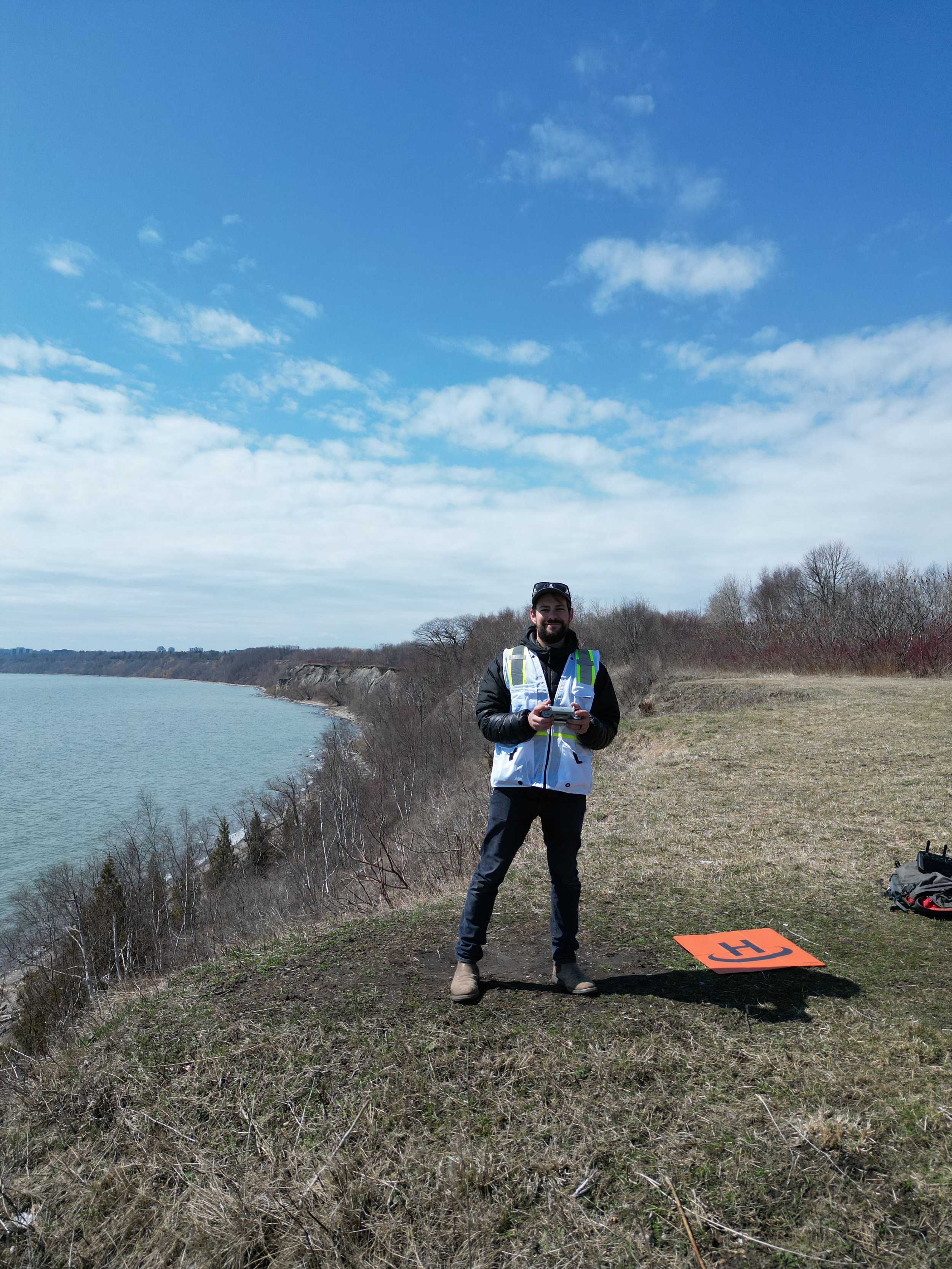
Licensed and Insured RPAS experts
Our team consists of experienced, insured, and fully licensed by Transport Canada RPAS pilots ready to exceed the needs of your project. We specialize in Real Estate photography, aerial site mapping, construction and insurance inspections, and environmental and GIS consulting. If you don’t see a service we provide, simply send us an email and we can work with you to provide exceptional -and cost-effective- RPAS results.


