Serving Southern Ontario with safe, effective and reliable RPAS solutions

Remotely Piloted Aircraft Systems (RPAS), commonly referred to as “drones”, have seen a significant rise in popularity, but did you know even consumer based drones have specific legal and technical requirements in Canada? And what do you do with all that drone imagery? Those kind of in-house commitments present a serious hurdle to many clients who may be missing out high-resolution imagery and invaluable data required for their projects. Let us take care of the technical requirements, extensive pilot training, and potential liabilities so you can get back to your work!
ASPECT utilizes fixed-wing, quadcopter and First-Person (FPV) drones for aerial photography, videography and 3D mapping projects.

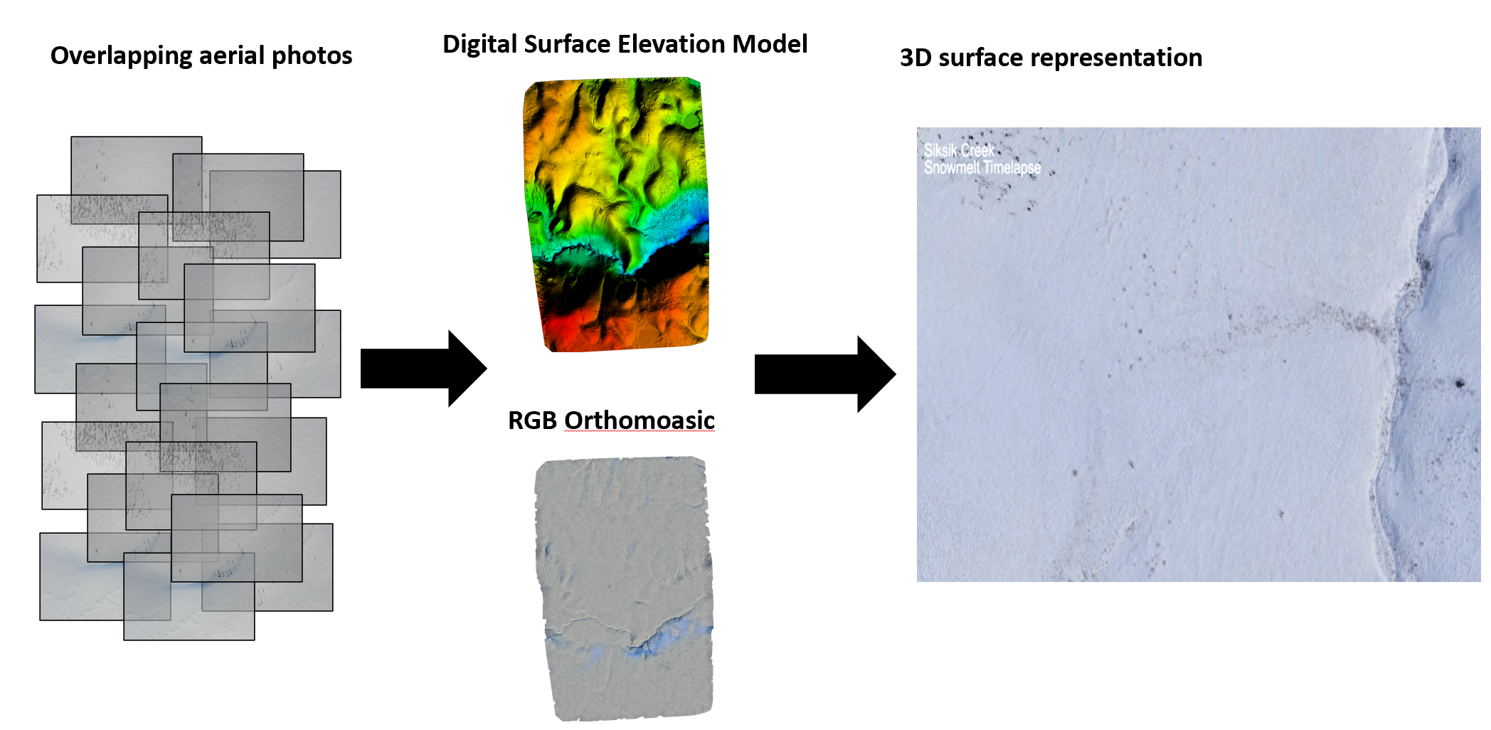
We specialize in Structure-from-Motion photogrammetry, a method used to take measurements from photos, to build high-resolution maps and 3D elevation models. This allows us to gather important information from our RPAS imagery and provides the client with a unique perspective encompassing the whole project area. This is a must-have tool for construction, mining, and aggregate industries.

Our Team
Branden Walker, MSc
Owner/ RPAS Pilot
Branden has an MSc in Geography from Wilfrid Laurier University specializing in RPAS surveying. Branden holds an Advance RPAS Operators Certificate with Transport Canada and has been flying RPAS since 2014 with a focus on applying photogrammetry for hydrological research applications in the Canadian Arctic. Branden also provides university guest lectures on applications of drones in remote sensing and GIS. With hundreds of safe and successful flights you can rest assured he has the expertise to meet the clients needs.


